

Today’s post is about a free historical atlas for genealogy research.
Can a 1932 U.S. historical atlas provide information on colonial towns, enslaved ancestors, European immigration, or other genealogy research? The answer is yes, courtesy of the American Panorama project at the University of Richmond’s Digital Scholarship Lab.
Digitized Historical Atlas
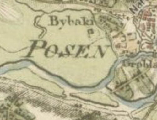
When Charles Paullin’s Atlas of the Historical Geography of the United States was published in 1932, it was the first of its kind. The atlast contains seven hundred maps on different facets of American life. Subjects include geography, settlement by Europeans, the growth and development of canals, trails, and railroads. It remained a seminal work for 80 years.
Paullin’s digitized maps combined with census and other data for the American Panorama Project:
At the Digital Scholarship Lab, we’ve spent a fair amount of time over the last couple of years developing an enhanced digital edition of Charles O. Paullin’s Atlas of the Historical Geography of the United States because of our conviction that more than eight decades after its original publication it remains a remarkable and remarkably useful historical atlas. One of the most useful and most fun things about the many thoughtful and creative maps in the atlas is that they end up prompting interesting questions about American history just as often as they provide answers.
Digital Historical Atlas Samples
The online project contains hundreds of digitized maps with interactive features that allow you to choose dates, subjects, and sources of information. Here are just a few examples. Visit the site to use animation and other features. And click here for other Sassy Jane posts on maps and genealogy.
Forced Migration of Enslaved People, 1810-1860

Religions in Revolutionary Era America


I love information like this and I agree that these snapshots into migration, religion, etc. can prompt new areas or questions for research. What a great resource!
Thanks, Clorinda. I think it’s great too.